

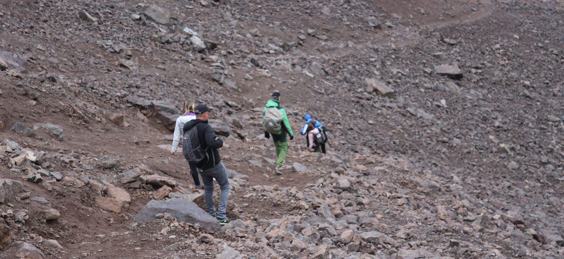
Mount Toubkal is the highest peak in North Africa at 4,167 metres (13,671 ft), and the trek to its summit is one of the most rewarding walks you can do in Morocco. You do not need climbing skills in the warm season, but you do need fitness, patience with altitude, and a good guide. This guide covers the route, the difficulty, the best time to go, and what each day feels like, written by people who walk these trails every week.
Where does the Toubkal trek start?
Every standard Toubkal trek starts in Imlil, a mountain village at about 1,740 metres. It sits in the heart of Toubkal National Park, roughly 60 km and a 1.5 to 2 hour drive south of Marrakech. From Imlil, the trail follows the Mizane Valley towards the mountain.
Many groups drive on a few minutes to the village of Aroumd (Armed) to save a little time and distance on day one. Either way, you are walking by mid-morning, with mules carrying the bags.
The classic route, step by step
- Imlil to Sidi Chamharouch. About 1.5 hours of steady walking through walnut groves and terraced fields along the river. Sidi Chamharouch is a small white shrine and a pilgrimage site for many Moroccans. There are simple stalls for water and tea.
- Sidi Chamharouch to the Neltner Refuge. Around 3 more hours of steeper walking, climbing through switchbacks and scree to the refuge at 3,207 metres. Most walkers reach it by mid-afternoon. This is where you sleep before summit day.
- Summit day. Leave the refuge early, usually between 5:30 and 7:00 am, to climb the south cirque and reach the summit by late morning. Plan on roughly 6 to 8 hours for the round trip, then descend to Imlil the same day or sleep a second night at the refuge.
The summit has a metal pyramid marker and wide views across the High Atlas, and on clear days towards the desert to the south.
How difficult is the Mount Toubkal trek?
Toubkal is often called an entry-level 4,000 m peak, and that is fair, but it is still a serious day in the mountains. In normal summer and early autumn conditions the route needs no ropes or technical gear. The challenge is the altitude and the length of the summit day.
- Total ascent: about 1,400 metres from Imlil to the refuge, then about 960 metres more to the summit.
- Terrain: rocky paths, loose scree, and a steep final section.
- Altitude: many walkers feel the effects above 3,500 metres. Headaches and slow breathing are common and usually manageable if you go slowly.
- Fitness needed: you should be comfortable walking 5 to 7 hours a day with a daypack. You do not need to be an athlete.
A good guide sets the pace, watches the weather, and will turn the group around if conditions or your health say so. That decision is part of what you are paying for.
Best time to trek Toubkal
The easiest conditions run from late spring to early autumn, roughly May to October. Summer days are warm in the valley but cold at the refuge at night. In winter (roughly November to April) the route is covered in snow, and crampons, an ice axe and winter mountain experience are normally needed. Check conditions close to your departure date, because snow can linger in spring and return early in autumn. Our full month-by-month breakdown is in our guide to the best time to trek the Atlas Mountains.
Do I need a guide?
We strongly recommend a licensed local mountain guide, and most trekkers book one. Guides know the weather patterns, handle the refuge booking and the mules, and are trained in first aid. In winter, going without an experienced guide is a real safety risk.
What to expect at the Neltner Refuge
The refuge is simple and friendly: shared dormitories, shared bathrooms, a communal dining room, and hot meals. Bring a sleeping bag liner or a warm sleeping bag, ear plugs, and a head torch. It is not luxury, but the mountain atmosphere in the evening is a highlight of the trip.
Can I do it in 2 days?
Yes. Many people climb Toubkal in two days from Imlil: refuge on day one, summit and descent on day two. A third day gives you time to acclimatise and enjoy the valley. See our comparison of the 2-day vs 3-day Toubkal trek to choose.
Quick facts
| Fact | Detail |
|---|---|
| Summit altitude | 4,167 m (13,671 ft) |
| Start point | Imlil, about 1,740 m |
| Refuge | Neltner Refuge, 3,207 m |
| Typical duration | 2 to 3 days |
| Summit day | Roughly 6 to 8 hours round trip |
| Technical skills | None in summer; winter gear needed in snow |
Ready to trek Toubkal with local guides?
We run private and small-group Toubkal treks from Marrakech, with local guides, mules and refuge bookings arranged for you. Contact us with your dates and fitness level and we will suggest the right itinerary.
FAQ
How long does it take to climb Mount Toubkal? Most people take 2 to 3 days. The summit day itself is about 6 to 8 hours round trip.
Is Toubkal hard to climb? It is non-technical in summer but demanding because of altitude and distance. Good fitness and a slow pace make it achievable for most active walkers.
Can beginners climb Toubkal? Active beginners can, with a guide and enough time to acclimatise. Previous hiking experience helps.
How far is Imlil from Marrakech? About 60 km, roughly 1.5 to 2 hours by road.

No comments on this article yet. Join the conversation!